Drones, photogrammetry, GPR, and LIDAR are used in the oil and gas sector for a variety of purposes, including:
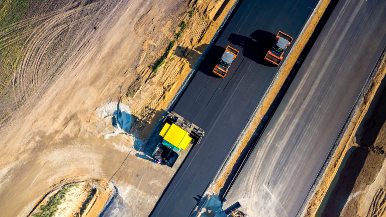
- Surveying and mapping: LIDAR (Light Detection and Ranging) and drones can be used to quickly and accurately survey and map large areas for oil and gas exploration and development. They can also be used to map pipelines and other infrastructure, reducing the need for manual inspection and reducing the risk of damage.
- Asset inspection: Drones and LIDAR can be used to inspect pipelines, refineries, and other oil and gas infrastructure, providing a quick and efficient way to identify potential issues and prevent downtime.
- Seismic imaging: Ground-penetrating radar (GPR) and seismic refraction surveys can be used to produce high-resolution images of the subsurface for oil and gas exploration. This can help to identify potential drilling locations, as well as provide information on the geology of an area.
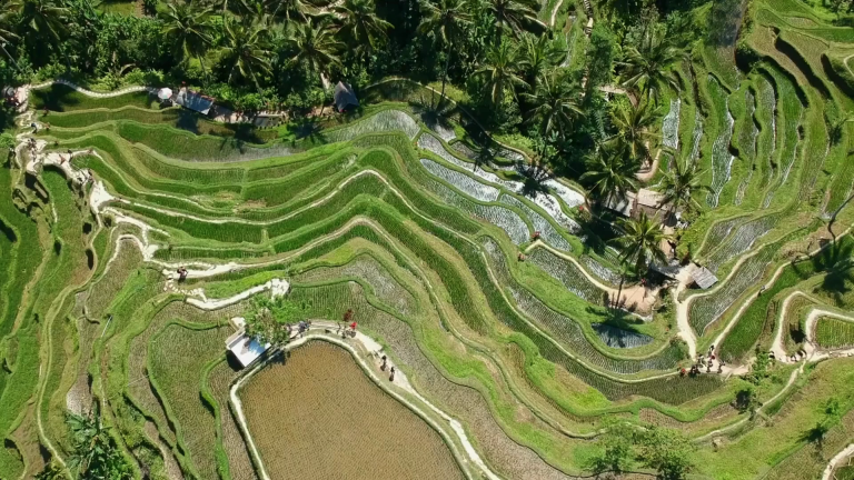
- Environmental monitoring: Drones and LIDAR can be used to monitor sensitive areas, such as wetlands and wildlife habitats, during oil and gas exploration and production. This can help to minimize the impact of these activities on the environment.
These technologies offer significant benefits to the oil and gas sector, including improved accuracy, efficiency, and cost savings. By leveraging these technologies, oil and gas companies can reduce the time and costs associated with traditional surveying and inspection methods, and gain a better understanding of their operations and the environment.